

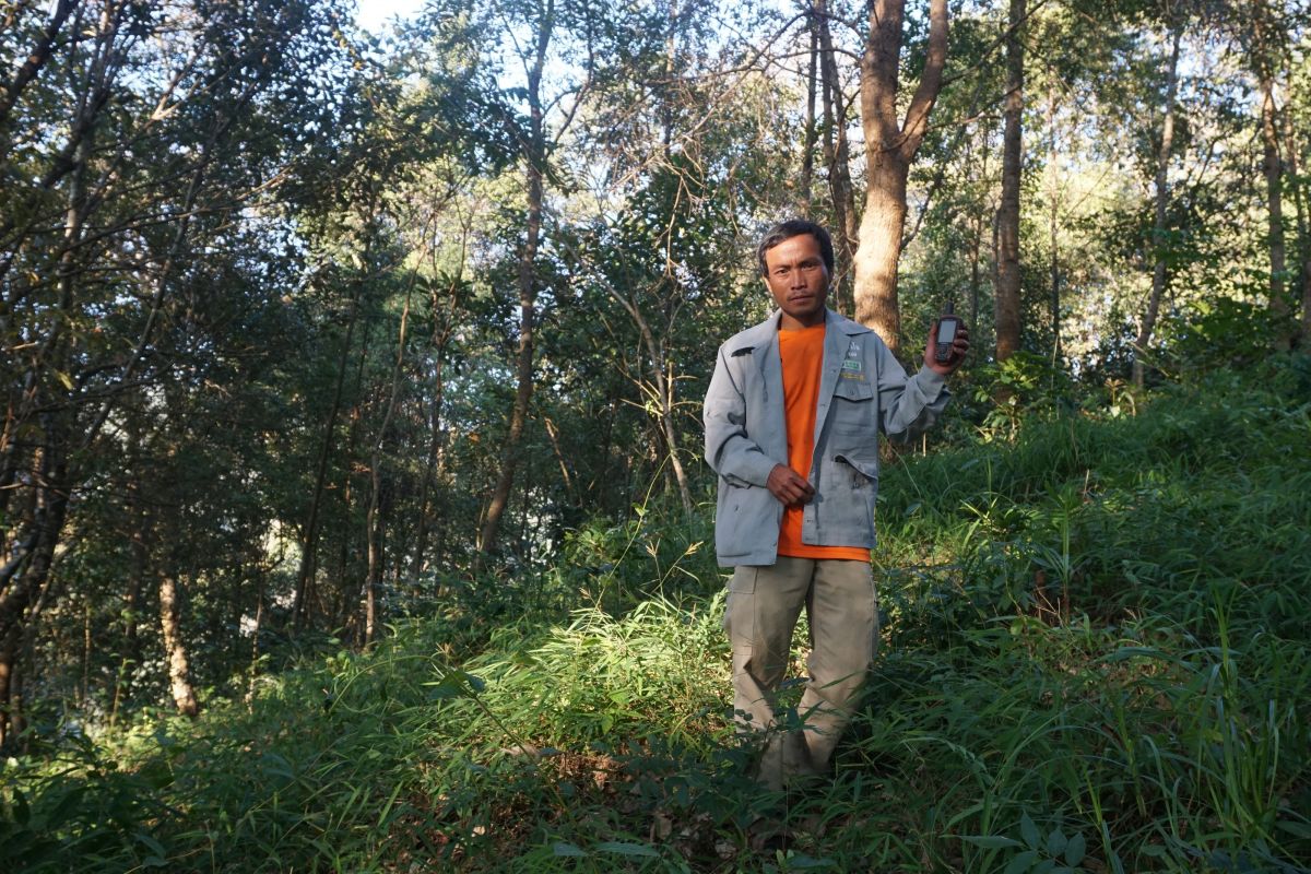
In eastern Cambodia, villagers living around Srepok Wildlife Sanctuary are patrolling parts of the forest, reporting illegal loggers and seizing their chainsaws. In return, they have exclusive rights to rattan, bamboo and other forest resources in Community Protected Areas. It is a win-win for the government and the local people. And this model is set to become more common as Cambodia’s Ministry of Agriculture, Forestry and Fisheries recently transferred control of vast areas of forest to the Ministry of Environment, which administers Community Protected Areas.
While Community Protected Areas have empowered people living near forests, some communities struggle to secure their rights when competing interests arrive intent on using forest land for mining or agriculture. When large companies are involved, the imbalance of power can be stark. And in Cambodia and other Mekong countries, it is not easy for communities to complain because grievance mechanisms are absent, unclear or ineffective. Meanwhile, land and forest defenders often face threats and violence.
Initiatives such as REDD+ and FLEGT are creating opportunities to improve people’s access to grievance mechanisms. Others are finding new ways to resolve conflict and protect community rights, as a recent experience in Thailand shows. When the government there declared a new protected area called Doi Phu Kha National Park in 1999, the people who had been living in that area for generations feared that they would lose their land, livelihoods and cultural links to the forest. They needed to convince the government that they had a right to be there.
Mapping and mitigating
To support the villagers, the Raks Thai Foundation and RECOFTC connected the people living in and around Doi Phu Kha National Park with experts from Thailand’s Geo-Informatics and Space Technology Development Agency (GISTA). The Agency trained them to use geographic information system (GIS) mapping techniques and set up a forum for dialogue with the government. The local people used GIS to map and confirm boundaries between different land uses. They also assessed the biodiversity and carbon in different areas, identifying the forest land with the highest potential for conservation and for mitigating climate change.
This approach has helped to dissipate conflict over land use, while supporting law enforcement. Triraganon of RECOFTC explains that if the community had tried to do this on its own, the authorities would have been unlikely to listen. But by working with a respected agency and using participatory methods to validate and map land uses, the villagers were able to open up a dialogue with the government and negotiate for communal land-use title.
“This is a good example of how local communities with support from civil society organizations can voice concerns,” says Robin aus der Beek, coordinator of RECOFTC’s Voices for Mekong Forests project. “The project is opening so much space and solving so much conflict that we are going to upscale this solution to other subdistricts in Nan Province.”
As the Thai example shows, policies for protecting forests can have unintended consequences. The same is true of the drive towards better forest governance that is underway across the Mekong region.
It tends to be the poorest people, particularly women, who are most vulnerable to unforeseen side effects. It could be workers at small factories who lose their jobs because the businesses can’t meet the costs of compliance—as happened in Lao PDR. Or it could be community forestry groups allocated degraded land that will not be able to supply forest products for some years, as happened in Cambodia and Myanmar.
One approach for mitigating or preventing such harm has emerged through the United Nations initiative to reduce greenhouse gas emissions from deforestation and forest degradation, or REDD+. The Mekong countries, as parties to the United Nations Framework Convention on Climate Change (UNFCCC), have agreed to use a set of social and environmental safeguards when implementing REDD+. These safeguards include respect for the rights of local communities, and participation by relevant stakeholders.
Cambodia and Viet Nam have made particularly good progress in this area. Viet Nam, for instance, has now met all four of the UNFCCC’s safeguard requirements through a process that involved participation of non-state actors in a ‘Safeguards Core Group’. This means that the country has reached a key milestone towards performance-based payments for measurable reductions of carbon emissions from the forest sector. And in doing so, Viet Nam has embedded transparency and ongoing stakeholder participation in REDD+ implementation.
“Vietnamese civil society organizations are quite happy with the safeguards thanks to their high level of engagement in the REDD+ network,” says Vu Huu Than, RECOFTC’s training coordinator in Viet Nam.